


Octeville Aéroport-30012024

DDLEDANDY
User

Length
12.3 km

Max alt
103 m

Uphill gradient
81 m
Km-Effort
13.4 km

Min alt
71 m

Downhill gradient
80 m
Boucle
Yes
Creation date :
2024-01-30 07:51:44.69
Updated on :
2024-01-30 10:44:40.793
2h52
Difficulty : Easy

FREE GPS app for hiking
 SityTrail
IGN / Geographical institutes
SityTrail Plus
The world is yours!
About
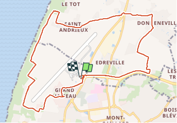
Trail Walking of 12.3 km to be discovered at Normandy, Seine-Maritime, Le Havre. This trail is proposed by DDLEDANDY.
Positioning
Country:
France
Region :
Normandy
Department/Province :
Seine-Maritime
Municipality :
Le Havre
Location:
Unknown
Start:(Dec)
Start:(UTM)
289747 ; 5490606 (31U) N.
Comments